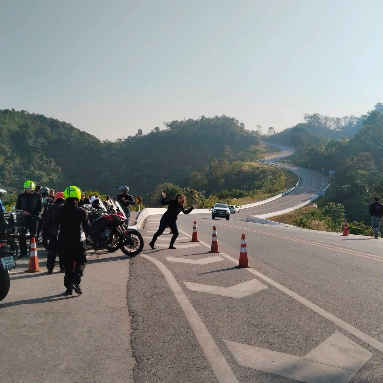
An NBT group stopped on a winding mountain road in Nan province

Rider Guide · 4 min read

WHERE GOOGLE MAPS GETS NORTHERN THAILAND WRONG

The short answer

Google Maps is mostly right on Northern Thailand's main roads, but not everywhere. On 21 October 2026 it still routed cars and motorbikes up a footpath at Phu Chi Fa and down a dirt track near Mae Chaem. Ask a local rider before you trust a shortcut.

TWO PLACES IT STILL GETS WRONG

Checked in Google Maps on 21 October 2026.

Phu Chi Fa, Chiang Rai (Route 1093)

What Google Maps does
Ask for directions from the resorts below the summit to the viewpoint and Google Maps sends cars and motorbikes “via unnamed roads” — through the parking lot and on up the footpath.
What is really there
The last stretch is a walking trail, about 450 m long and averaging around 30%, reported by a rider on GT-Rider in November 2025. It is not a road.
What to do instead
Ride Route 1093 to the parking lot at the top, leave the bike there and walk up to the viewpoint.

Mae Chaem, Chiang Mai (the shortcut west to Route 1088)

What Google Maps does
From the Mae Chon Luang side, Google Maps offers cars and motorbikes a 10.7 km shortcut west to Route 1088 “via unnamed roads”.
What is really there
It is an unpaved track. A GT-Rider rider found 7 km of concrete to a village and then 15 km of track, and OpenStreetMap’s GPS surveys from 2025 and 2026 still record it as unpaved and in very bad condition.
What to do instead
Stay on the paved numbered roads around Mae Chaem. Message us and we’ll tell you which way suits your bike.

HABITS OF THE APP THAT CATCH RIDERS OUT

  • ◆A loop planned on a computer can be re-routed by the phone to the shortest way — which is often a smaller road than the one you chose.
  • ◆Mid-ride “faster route” pop-ups switch your route, and they are hard to refuse with gloves on.
  • ◆Riders report real riding times around 20% longer than Google Maps says on mountain roads.
  • ◆The same road number is used in more than one province, and many rural road numbers can’t be searched at all.
  • ◆Maps doesn’t know a road is closed until someone tells it. Almost every mud and landslide story we read was between July and October.

RIDING WITH US

On our tours a guide rides in front, so none of this is your problem. Riding on your own? See our route guides for the Mae Hong Son Loop, the Samoeng Loop and Chiang Mai to Nan.

QUESTIONS RIDERS ASK

Is Google Maps reliable for riding a motorbike in Northern Thailand?

On the main numbered highways, mostly yes. The trouble is shortcuts: in two places we checked on 21 October 2026 it still routed motorbikes onto a footpath at Phu Chi Fa and a dirt track near Mae Chaem.

Why does Google Maps send riders onto dirt roads?

Small rural tracks are in its map as roads, and it picks them when they are shorter. It can't see the surface, and it doesn't know about rainy-season closures until someone reports them.

How long does riding really take compared with Google Maps?

Riders report around 20% longer than Google Maps estimates on mountain roads, before stops for fuel, food and photos.

ASK US BEFORE YOU RIDE

Planning a route on your own? Send us where you're going and on what bike, and we'll tell you which shortcuts to skip. A rider answers, not a bot.

Message us on WhatsApp